RUGUD: Rapid Unified Generation of Urban Databases
Challenge
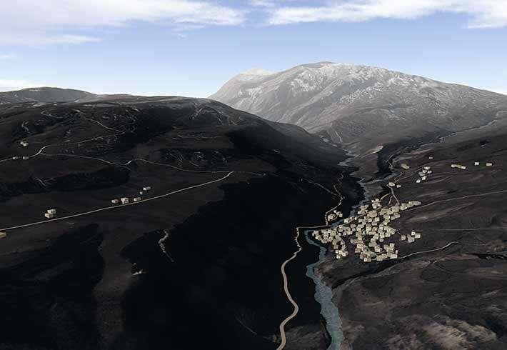
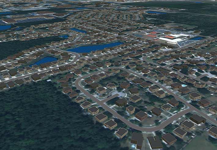
The Rapid Unified Generation of Urban Databases (RUGUD) project centers on the unique issues surrounding the generation of high-fidelity urban environments. The team set out to build an open, extensible database generation system that enables rapid generation of realistic, geospecific Synthetic Environments for tactical operations.
- Flexible-integrate COTS/GOTS software
- Open-use open standards and formats
- Automated-rapid production of usable datasets
- Accurate-construct geospecific urban terrain databases
- Consistent-produce correlated databases for disparate systems Complete include attribution for visuals, SAF, maps, etc.
- Detailed-realistic urban representations include interiors, subterranean features, urban clutter, furniture, etc.
RUGUD’s adaptable framework ensures the power to evolve as new requirements and capabilities emerge. The architecture provides a means to integrate current and future terrain generation tools into a composable terrain generation system. At its core lies the Master Urban Data Model (MUDM) that defines all terrain features and attributes handled by the system. The framework’s data-driven nature allows new features and/or attribution additions without code modifications.
Solution
Funded by the U.S. Army Research Laboratory (ARL) Simulation and Training Technology Center (STTC), RUGUD is a sophisticated, data-driven framework that supports configurable terrain generation. Its application is for both wide-area databases and high-resolution urban environments. Our goal is to support better, cheaper, faster database production through flexibility, automation, and reuse. RUGUD’s architecture continues to evolve as we incorporate additional import, export, and data manipulation capabilities. RUGUD is poised to address urban terrain generation challenges of today and the future.
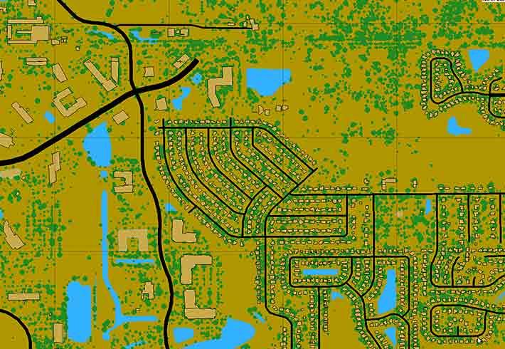
RUGUD generates correlated terrain databases from real-world Geographic Information System (GIS) data. Convert elevation, satellite imagery, and feature data into any of RUGUD’s supported terrain formats. Formats include visual (e.g., OpenFlight, Collada), simulation (e.g., OneSAF, JCAT), or game (e.g., Unreal, VBS). RUGUD is freely available to government-funded terrain database developers.


